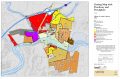
Zoning Map Shows Floodway And 100yr Floodplain 20081014 11 X 17
Posted on: February 5th, 2015 by E-Gov Link
| Zoning Map_shows_Floodway and 100yr floodplain_20081014_11 x 17.pdf |
|---|
| File Size | 0.6 MiB |
|---|
| Date | February 5, 2015 |
|---|
| Downloads | 531 |
|---|
Comments are closed.